Walk · around Giverny
Les Andelys: Saint-Jacques, the GR2 and the Seine
A compact loop that follows the GR2 from the car park, climbs the hills for wide views, then returns gently beside the Seine.
In 20 seconds
A walk with real contrast: a steep start, big views from the hills, a woodland section and a much calmer finish beside the Seine.
Walked locally
From the hills back down to the Seine
The small car park near the former Saint-Jacques hospital is already on the GR2 — one of France’s “Grande Randonnée” long-distance trails — with its red-and-white waymarks visible from the start. The loop follows the GR2 over the hills and through woodland, drops back to river level, leaves the GR2 near the end and finishes with an easy walk beside the Seine.
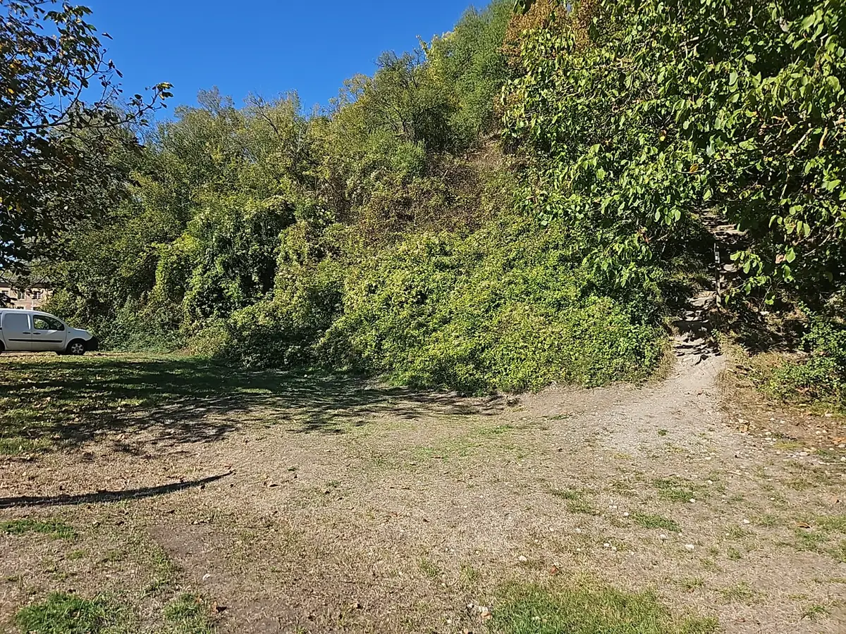
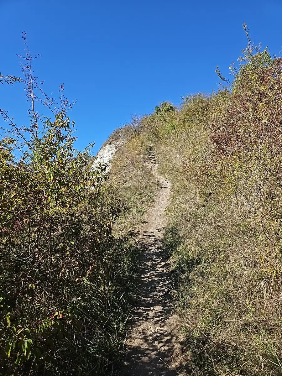
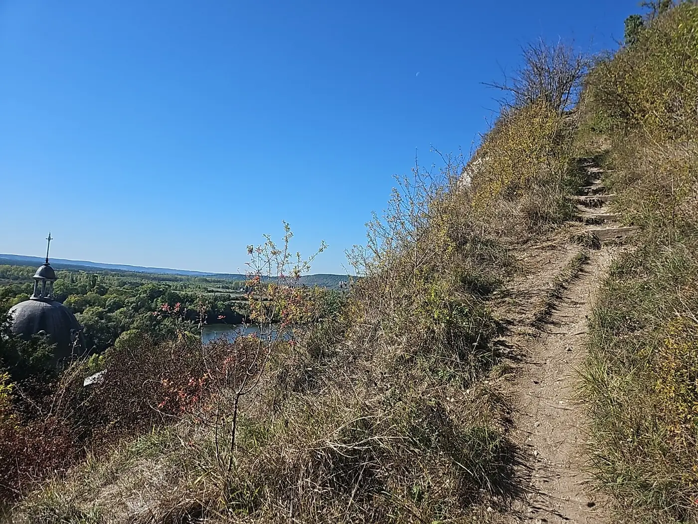
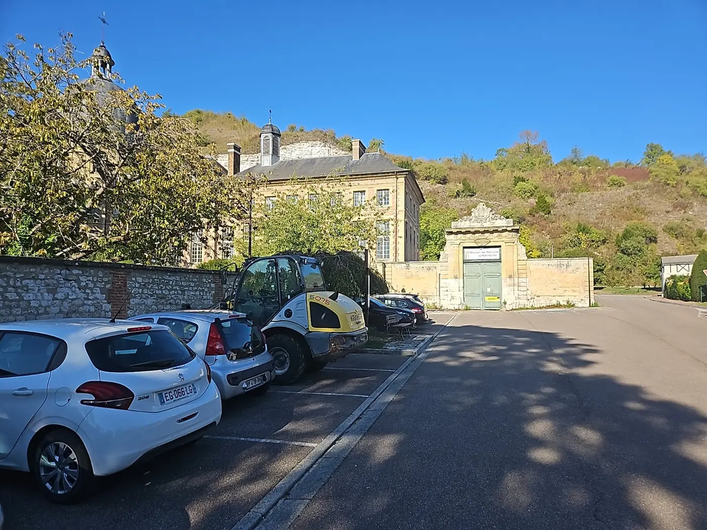
The walk starts from a small car park close to the former Saint-Jacques hospital. You are already on the GR2 here, with its red-and-white waymark visible on a post by the car park. The climb begins almost at once, with a narrow hillside path and some fairly high steps — around 30 to 40 cm in places. There are also a few rocky sections where it pays to watch your footing.
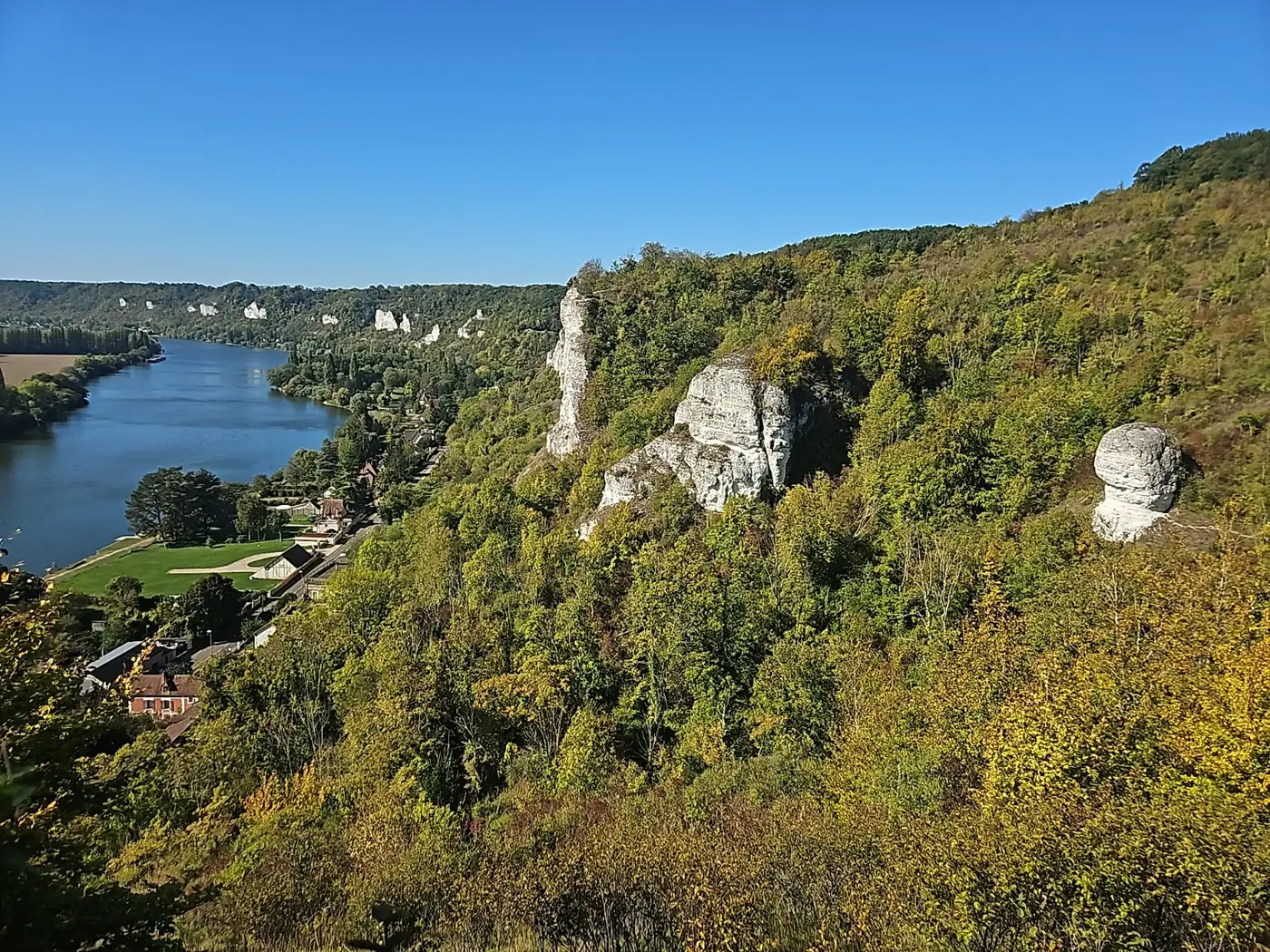
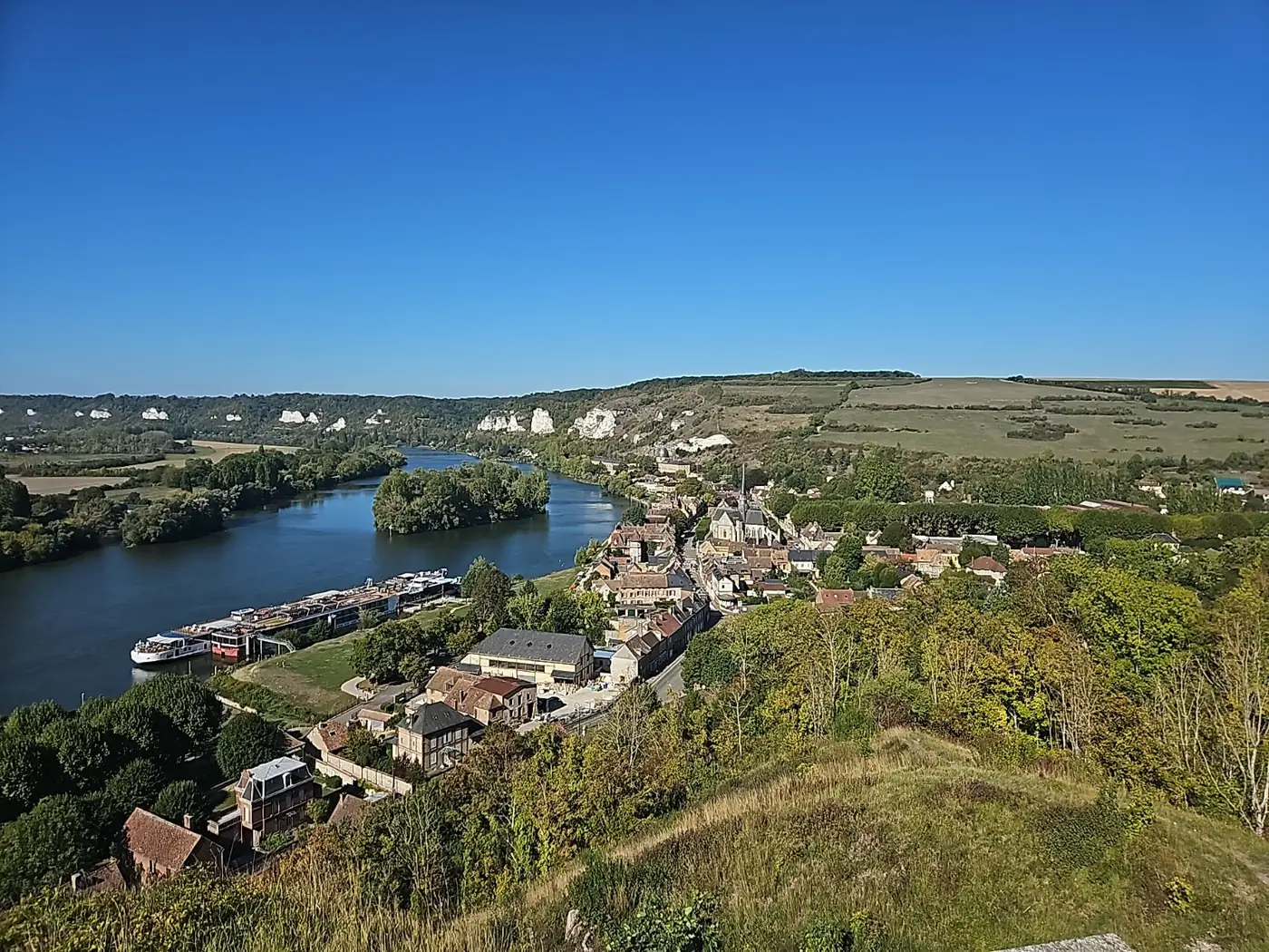
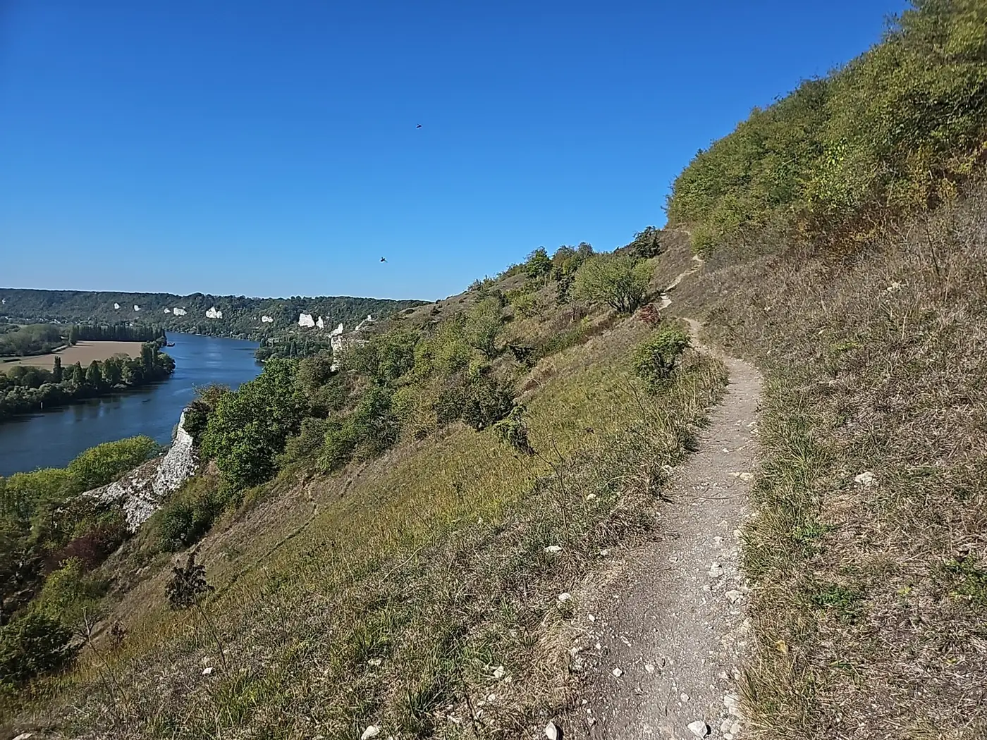
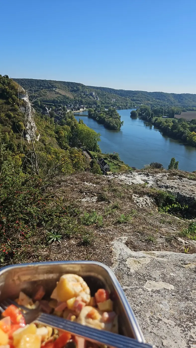
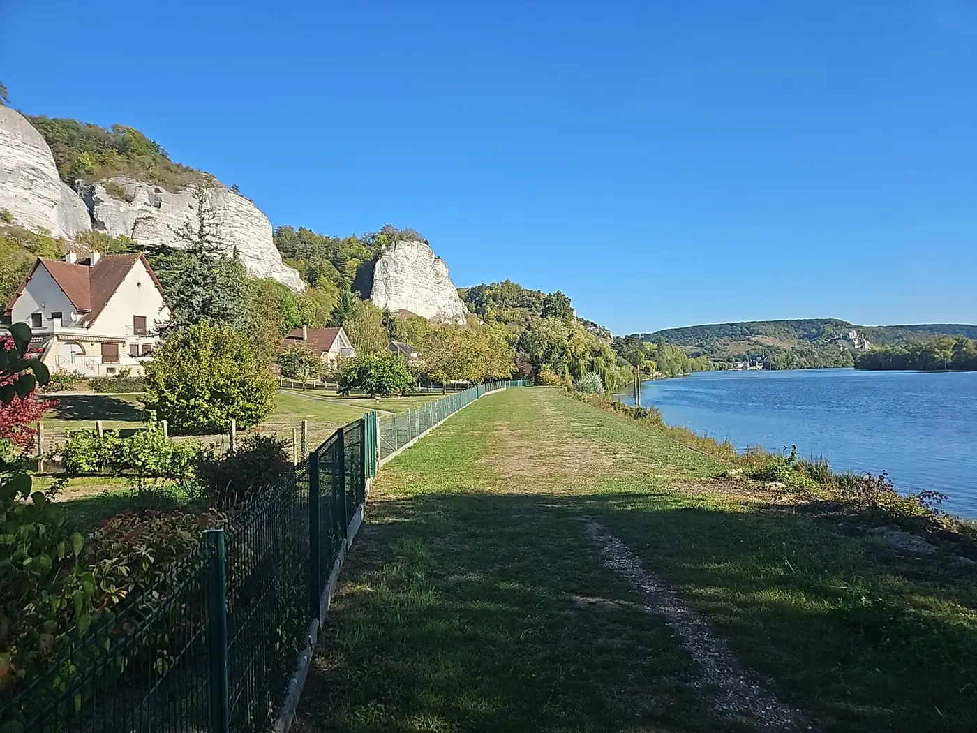
Once you gain height, the views make the effort worthwhile. The Seine, the chalk cliffs and the valley keep opening up as the trail rolls along the hillside. Keep following the GR2 through this undulating section; there are several good places to stop for a break with a view.
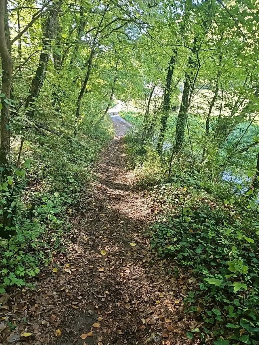
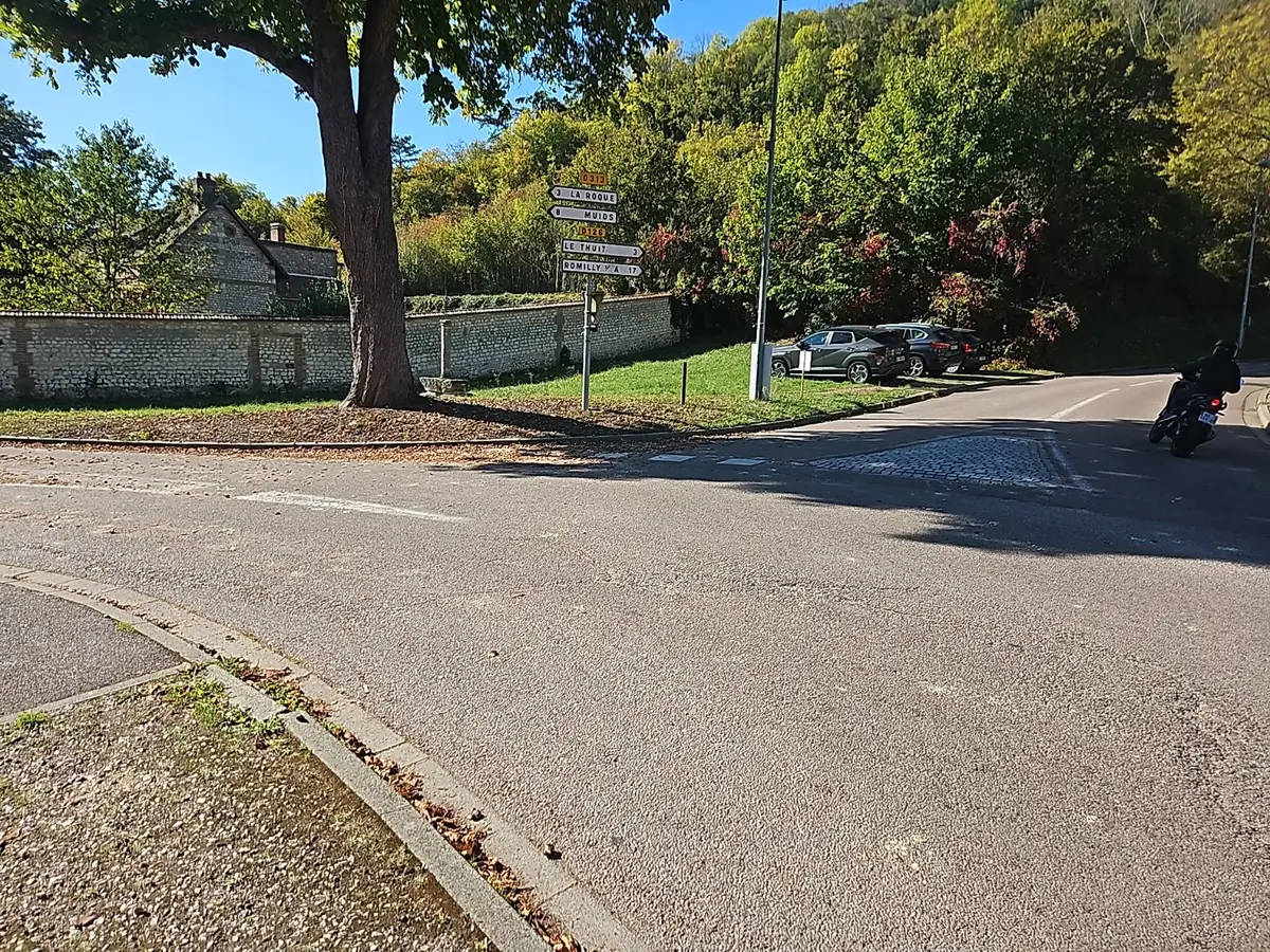
The final quarter of the hillside section becomes noticeably more wooded. By the time the path reaches the small paved road, the descent is already over and you are back down at river level. Follow the road to the stop sign, turn right and stay on the GR2 for roughly 100 metres. At the next junction, leave the GR2 — which continues along the road — and turn left. After about 200 metres, turn left again and continue towards the Seine. From there, the walk becomes easy and relaxed, following the river back towards Saint-Jacques and the starting area.
At a glance
Six landmarks that explain the loop
The small car park — already on the GR2
The red-and-white waymark is visible from the start. The trail heads straight uphill, making this one of the most physical parts of the walk.
Saint-Jacques below you
As you gain height, the dome of the former hospital appears below the path and makes an easy landmark.
The GR2 along the hills
Keep following the red-and-white waymarks through the most panoramic section, with the Seine and chalk cliffs close by.
The woodland section
Towards the end of the hills, the trail becomes shadier and more enclosed. The descent is finished when you reach the small paved road.
The junction where you leave the GR2
At the stop sign, turn right and stay on the GR2 for about 100 metres. At the next junction, turn left; the GR2 continues along the road.
The riverside return
After roughly 200 metres, turn left again and head towards the Seine for the easy walk back to Saint-Jacques.
Views and landmarks
A few images from the walk
Route
Route and access
The small car park near Saint-Jacques is already on the GR2, identified by its red-and-white waymarks. Follow it from the start as the trail climbs onto the hillside, continues across the heights and then enters woodland. By the time you reach the small paved road, the descent is already complete. Follow the road to the stop sign, turn right and stay on the GR2 for about 100 metres. At the next junction, leave the GR2 by turning left. After roughly 200 metres, turn left again and continue towards the Seine, then follow the river back towards Saint-Jacques and the car park.
Nearby
Keep exploring
- Former Saint-Jacques hospital
- Petit-Andely and the riverside
- Château-Gaillard and its viewpoint
After the climbs above Les Andelys, the contrast with the quiet of Le Romarande and its private steam room works especially well.